
VACANT RESIDENTIAL PLOTS LOCATED WITHIN KAMAKIS AREA OFF KARUGURU ROAD & THE EASTERN BYPASS, KIAMBU COUNTY


KSh3,500,001
The properties are situated in the immediate outskirts of Kamaki’s area off Karuguru road and the eastern bypass.
Access is via a tar surfaced Karuguru road for about 500 meters turning right just before the river Athi bridge for about 400 Meters to the subject properties.
The plots measures as follows
Plot No. RUIRU KIU BLOCK 2/22897 0.08 of a hectare or0.19768 of an acre approximately.
Plot No. RUIRU KIU BLOCK 2/23144 0.0350 of a hectare or0.086485 of an acre approximately.
Mains water and electricity are available in the neighborhood for connection to the properties.
Drainage would be to the main sewer trunk.
The access road is murrum surfaced road branching from the Tar surfaced Karunguru road 400 Meters away
Cellular mobile networks cover the area.
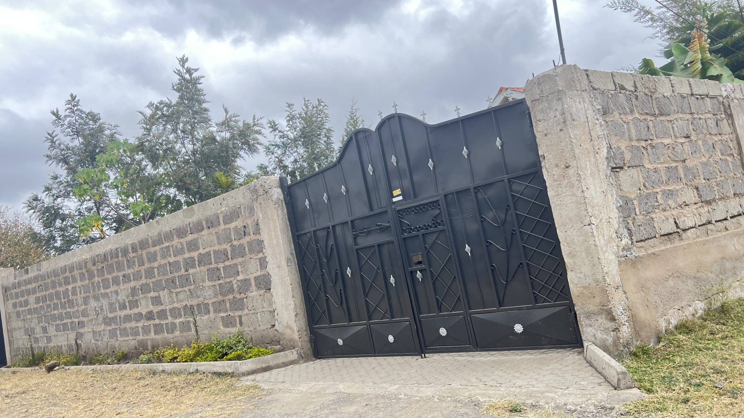
The plots are triangular shaped, and trapezoidal fairly level, murrum soils plots with a gentle slope whose boundaries are open and marked by survey comer beacons. Access to the properties is open from the access road. The plots front River Athi.
- Published: January 17, 2024
( 0 Reviews )
Related Posts
View All
On Market
PRIME RESIDENTIAL PROPERTY SITUATED IN UMOJA AREA OF ONGATA RONGAI, KAJIADO COUNTY
1°24'14.6”S36°44'51.6”E
For sale
ELEGANT 3-BEDROOM BUNGALOW FOR SALE IN PRIME KITENGELA LOCATION
-1.502059, 36.945092

On Market
A THREE BEDROOM MASTER EN-SUITE BUNGALOW IN RIMPA AREA,NGONG OF KAJIADO COUNTY
1°25'42.7''S36°42'20.9''E